Product
Surveying & Mapping Software
Enhance your projects with cutting-edge technology
Surveying & Mapping Software
Highlights
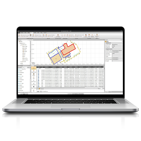
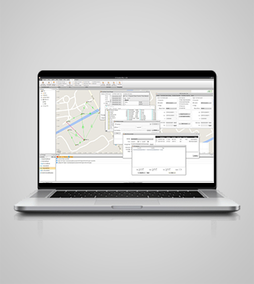
CGO software is designed to edit, process, and analyze GNSS data, delivering high-precision positioning results for a wide range of applications. It serves as a sophisticated yet user-friendly platform bridging the gap between field survey activities and GNSS post-processing needs. Ideal for geodetic and surveying tasks, UAV trajectography, ground control points (GCPs), and road construction projects, CGO ensures efficient and accurate workflow from data collection to final analysis.

Key Features
A durable and high-performance device designed for precision and efficiency.
Advanced Algorithms
Static, fast static, PPK, and PPP processing for precise results.
Geodetic Toolset
Coordinate converters, map compressors, and GNSS antenna managers.
Versatile
Supports multiple import and export formats for maximum compatibility.
Intuitive
Customizable user interface for a seamless workflow experience.
Performances
Product Features and Highlights
Comprehensive GNSS Data
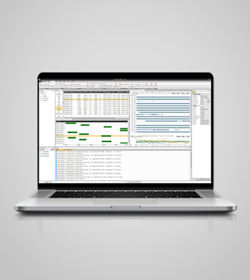
Achieve highly accurate geodetic positions with advanced GNSS processing algorithms. CGO processes GPS, GLONASS, BeiDou, Galileo, and QZSS data, ensuring reliable results in a variety of observation file formats, including RINEX, CRINEX, and RTCM.

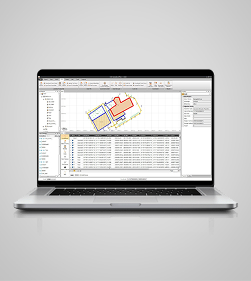
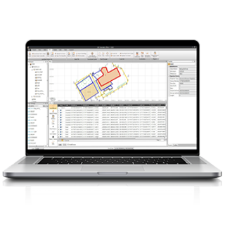
High-Efficiency Processing
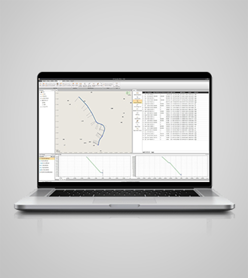
Process massive amounts of field data with advanced static, fast static, PPK, and PPP algorithms. CGO supports correction of field and UAV track coordinates, and integrates RTK and PPK results for comprehensive analysis.
Enhanced Data Visualization
Use a choice of online maps (OSM, Bing, Google, WMS, WMTS) to visualize your data and extend GNSS data post-processing for better decision making.
Versatile Import and Export Options
Export processed data in a variety of formats, including KML, SHP, DXF, HTML, CSV, PDF, RAW, ASC, and TXT. CGO ensures compatibility with industry-standard software for seamless data exchange.
Integrated Geodetic Toolset
Use a wide range of geodetic tools, including coordinate and RINEX converters and GNSS antenna managers. These tools simplify complex tasks and increase productivity and data accuracy.
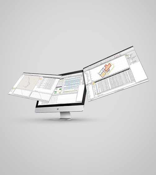
Streamlined Workflow
Benefit from an intuitive, customizable user interface that adapts to your way of working. CGO2's built-in modules provide a streamlined transition from field data collection to post-processing, reducing the learning curve.
Use Cases
Applications of the NAVCGO
Geodetic Control Point
Establish precise geodetic control points for surveying and mapping.
Drone Surveying
Conduct aerial surveys for mapping and monitoring large areas.
Seismic Studies
Monitor and analyze seismic activity for geological research.
Specifications
Product Details
-
System
Operating System: Windows
Languages: English, Spanish, Japanese, Portuguese, Russian, Chinese -
Interface
User menu: Customizable and process wizards -
Features
Functions: GNSS data processing
File formats: GPS, GLONASS, BeiDou, Galileo, QZSS raw
Seeking a Perfect Solution to Fit Your Needs?
Contact G-Surv Corp to create a customized precision solution tailored to meet the specific needs of your business. Let's get in touch and discuss how we can assist you.
Our Clients
Trusted by Leading Companies


 G-Surv Corp
Address
40 Visayas Ave, Diliman, Quezon City, Metro Manila
Call Us
+63 927 929 1674 |+63 968 860 9025
Email Us
gsurvcorp@gmail.com