Product
Surveying & Mapping Software
Enhance your projects with cutting-edge technology
Surveying & Mapping Software
Highlights
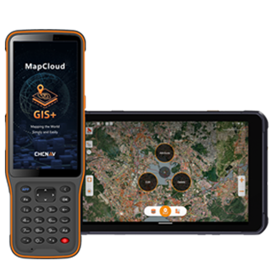
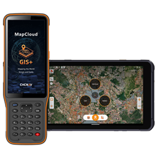
MapCloud is a powerful field data collection software designed specifically for Android devices. It integrates seamlessly with a wide range of GIS formats and CHCNAV GNSS RTK receivers, providing users with precise data collection capabilities. Tailored for professionals in pipeline management, forestry, utilities, and municipal asset management, MapCloud enhances field productivity and ensures efficient management of complex geospatial data.
Key Features
A durable and high-performance device designed for precision and efficiency.
Multi-Format
SHP, DWG, DXF, KML, GPX, TIFF, and more.
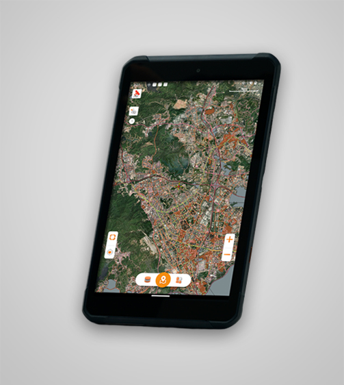
Flexible
Data collection through any Android device.
Cloud Service
Integrated cloud connectivity with collaboration tools.
User-Friendly
Large map windows and customizable layer templates.
Performances
Product Features and Highlights

Comprehensive GIS Format Support
MapCloud efficiently manages popular GIS formats, including SHP, DWG, DXF, KML, GPX, and more. It integrates seamlessly into existing workflows and makes it easy to load, modify, and export data.
Advanced Mapping Engine
MapCloud advanced mapping engine quickly processes GB-grade SHP files and TB-grade TIFF files. You can easily analyze and manage large projects by visualizing detailed attributes and complex data sets.
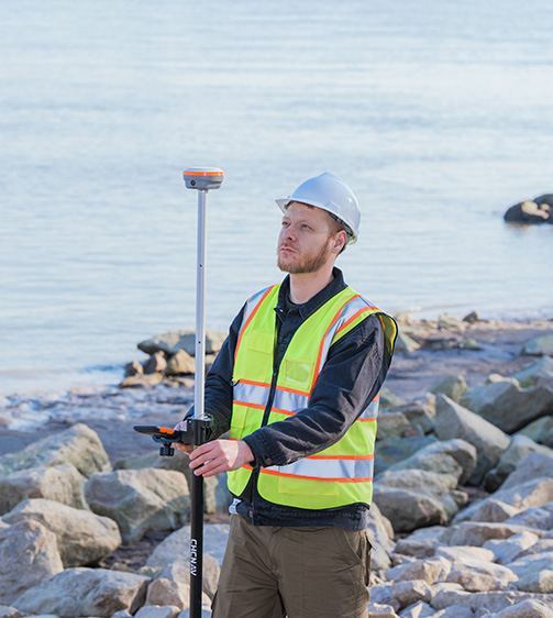
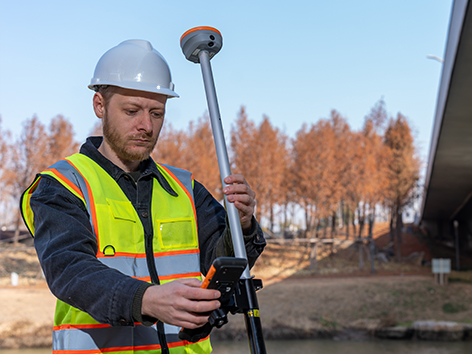
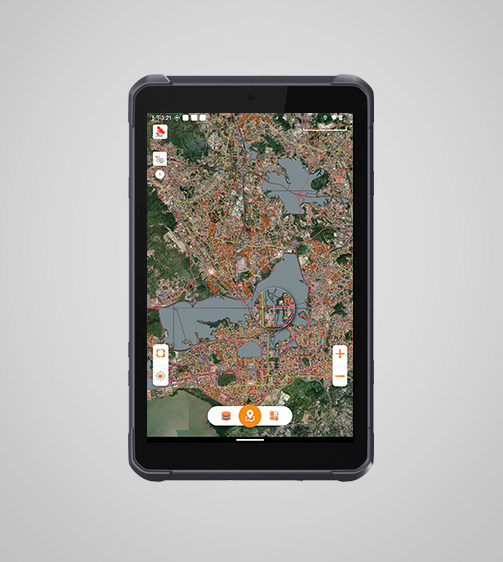
Flexible Data Collection
MapCloud offers two modes of data collection: directly from Android tablets or by connecting to CHCNAV GNSS RTK receivers, addressing both portable and high-precision surveying needs.
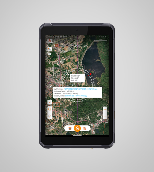
Extensive Measurement Capabilities
MapCloud supports multiple measurement methods, including coordinate stakeout, track recording, and length and area measurement. Voice prompts provide real-time guidance to improve jobsite operations.
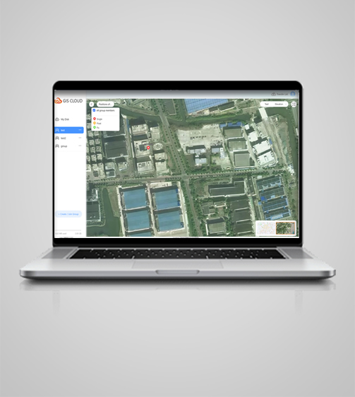
Cloud-Based Collaboration
Enhance teamwork with MapCloud's cloud connectivity, which supports project backup, data sharing, and collaboration between field devices and office computers, making project management more efficient.
Intuitive User Interface
Get the job done efficiently with MapCloud's user-friendly design, large map windows, and vivid graphics. The software includes customizable layer templates and simultaneous multi-feature capture.
Use Cases
Applications of the MAPCLOUD
Asset Management
Manage and track assets with precision and efficiency.
Environmental Monitoring
Monitor environmental factors for data collection and analysis.
Pipeline and Utility Inspection
Inspect pipelines and utilities for maintenance and safety.
Vegetation Mapping
Map and monitor vegetation for ecological studies and conservation.
Specifications
Product Details
-
System
Operating System: Android
Languages: Over 25 supported -
Connectivity
Device: Bluetooth, Wi-Fi
Cloud: Data storage and remote support -
Interface
User menu: Customizable
Online basemaps: Google, Bing, WMS, WFS -
Features
Functions: Data collection, stakeouts and more
File formats: SHP, DWG, DXF, KML, GPX, TIFF, JPG, MBTiles
Seeking a Perfect Solution to Fit Your Needs?
Contact G-Surv Corp to create a customized precision solution tailored to meet the specific needs of your business. Let's get in touch and discuss how we can assist you.
Our Clients
Trusted by Leading Companies


 G-Surv Corp
Address
40 Visayas Ave, Diliman, Quezon City, Metro Manila
Call Us
+63 927 929 1674 |+63 968 860 9025
Email Us
gsurvcorp@gmail.com