Product
Hydrographic Sensors
Enhance your projects with cutting-edge technology
Hydrographic Sensors
Highlights
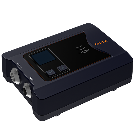
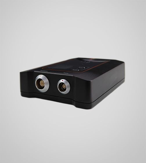
The D270 is a cost-effective single-beam echosounder designed for precision and ease, featuring an integrated water temperature sensor for real-time sound velocity adjustments based on temperature fluctuations, enhancing depth measurement accuracy. This compact echosounder is ideal for applications such as river cross-section surveys, reservoir capacity assessments, and dredging volume calculations. The D270's easy-to-use web configuration streamlines the survey process and improves efficiency.
Key Features
A durable and high-performance device designed for precision and efficiency.
Integrated Temperature Sensor
For real-time sound velocity correction.
Connectivity
Bluetooth and Wi-Fi for wireless setup and data transfer.
OLED Display
Real-time data monitoring.
and Performances
Product Features and Highlights
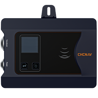
High-Precision Depth Measurement
Achieve superior depth measurement accuracy with the integrated water temperature sensor that allows real-time sound velocity adjustments. The D270 ensures reliable and precise data for various bathymetric applications.
Extensive Depth Range
Measure depths up to 200 meters with the D270’s single-beam echosounder. This capability supports a wide range of survey applications, from shallow rivers to deeper reservoirs.
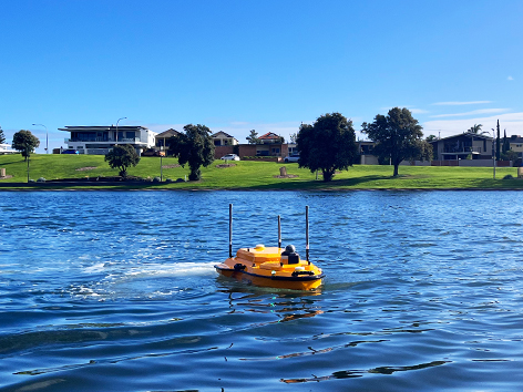
Portable and Compact Design
The lightweight (0.84 kg) and compact design of the D270 makes it ideal for field surveys, allowing easy transportation and quick setup, enhancing operational efficiency.
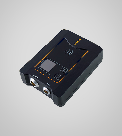
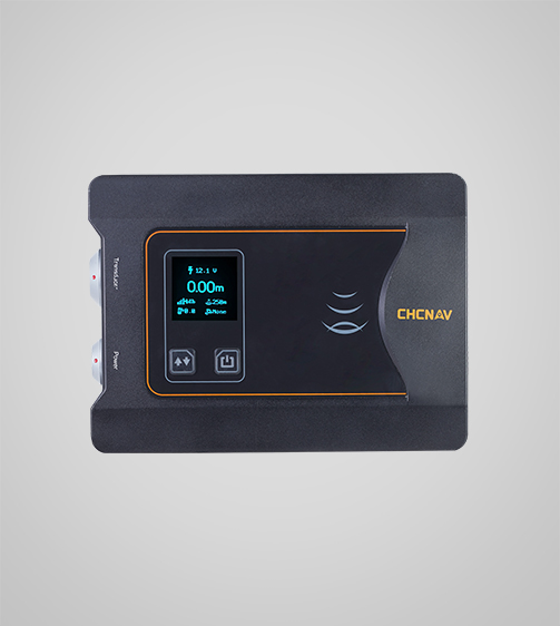
User-Friendly Configuration
Monitor vital survey data in real-time with the 1.46-inch OLED display providing quick access to information such as voltage status, water depth, and GNSS positioning status, ensuring effective operation monitoring.
Use Cases
Applications of the D270
Hydrographic Surveys
Use for precise mapping of underwater features and water body depth.
Reservoir Volume Calculations
Accurately measure water volume in reservoirs for efficient management.
Shallow Water Surveys
Perform surveys in shallow waters for construction or ecological studies.
Specifications
Product Details
-
System
Operating System: Windows
Languages: English, Chinese, Russian -
Features
Functions: Generate DOM and 3D models
File formats: Process GNSS, LiDAR, and RGB data -
Performance
Speed max.: 6 m/s
Payload capacity: 25 kg max
Draft: 10 cm
Positioning: Full GNSS + IMU -
Echosounder
Type: Single beam, 200 kHz
Range: 0.15 to 200 m
Resolution: ±0.01 m + 0.1% x D -
Sensors
Camera: 360° video
Seeking a Perfect Solution to Fit Your Needs?
Contact G-Surv Corp to create a customized precision solution tailored to meet the specific needs of your business. Let's get in touch and discuss how we can assist you.
Our Clients
Trusted by Leading Companies


 G-Surv Corp
Address
40 Visayas Ave, Diliman, Quezon City, Metro Manila
Call Us
+63 927 929 1674 |+63 968 860 9025
Email Us
gsurvcorp@gmail.com