Product
Controllers & Tablets
Enhance your projects with cutting-edge technology
Controllers & Tablets
Highlights
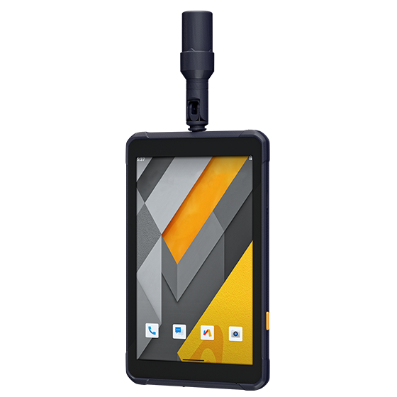
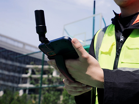
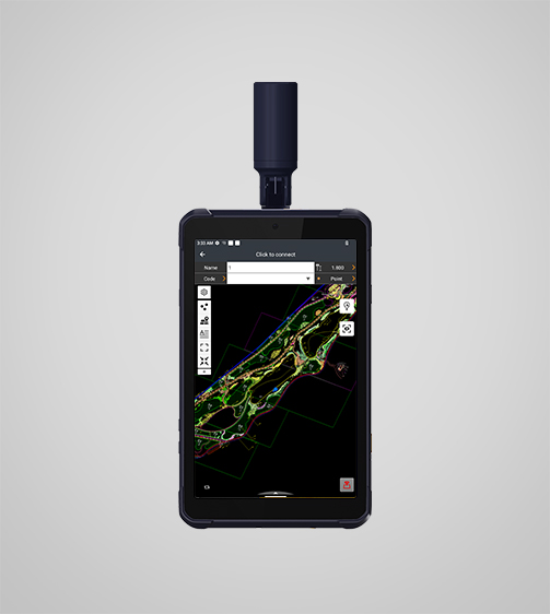
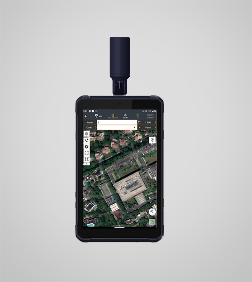
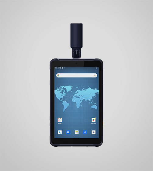
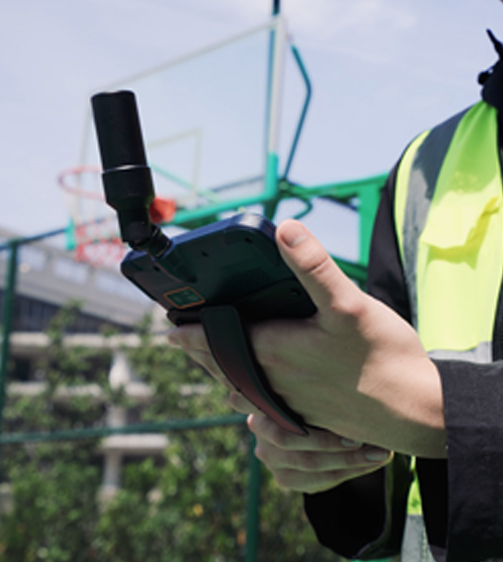
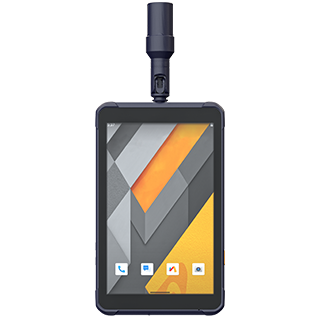
The LT800H RTK Android tablet increases the productivity of mobile workforces. Designed for centimeter-to-decimeter accuracy, it excels in precision GIS data collection, forensic mapping, construction layouts, environmental studies, and landscaping projects. Its sunlight-readable 8.1" display ensures that GIS data maps and images are clear even in bright sunlight. Its rugged IP67-rated design withstands harsh conditions, making it the first choice for teams in challenging environments.
Main Features
Product Details
High-Precision GNSS
Reliable GNSS RTK centimeter positioning for high-accuracy applications.
High Performance
2.0 GHz octa-core processor for smooth operations and fast performance.
Durable Display
8.1" Corning Gorilla Glass 3 IPS touchscreen for a resilient, high-quality display.
Enterprise Integration
Google Mobile Service (GMS) and Android Enterprise Recommended (AER) for business solutions.
Performances
Product Features and Highlights

High-Precision GNSS Positioning
Achieve centimeter-to-decimeter accuracy with the LT800H’s integrated 1408-channel GNSS module. Supporting GPS, GLONASS, Galileo, BeiDou, QZSS and SBAS constellations, it ensures reliable RTK positioning in the most challenging environments.
High-Performance Processing
Increase productivity with the LT800H’s 2.0 GHz octa-core powerful CPU to handle large maps and data sets without lag ensuring seamless data collection.
Sunlight-Readable Display
The LT800H's 8.1" Corning Gorilla Glass 3 IPS touchscreen allows you to work efficiently in any lighting condition. The 600 nits display allows to view GIS data, complex vector maps and high-resolution images clearly, even in direct sunlight.
GMS Certified for Compatibility
For seamless integration with popular enterprise data collection applications, the LT800H is Google Mobile Service (GMS) and Android Enterprise Recommended (AER) certified, ensuring software compatibility and optimal performance.
Comprehensive Connectivity
With WiFi, Bluetooth 5.1, NFC and a built-in 4G modem, the LT800H keeps you connected. The dual SIM 4G modem provides fast and reliable communications to improve collaboration between field teams.

Durable Design
Count on the LT800H for harsh environments. Its IP67-rated industrial design ensures resistance to dust, water, and shock for extended use in real-world field conditions.
Use Cases
Applications of the LT800H
Land Parcel Surveys
Conduct precise surveys for land parcels for real estate and legal purposes.
Archaeological Site Mapping
Map archaeological sites for preservation and research purposes.
Pre-Construction Surveys
Perform accurate surveys before construction projects to ensure optimal planning.
Specifications
Product Details
-
Positioning
GNSS: GPS, GLONASS, Galileo, BeiDou, QZSS, SBAS
Precision max.: 2-5 m H / 2-5 m V -
Display
Screen size: 8.1" touchscreen
Screen resolution: 1920 x 1200 -
System
Operating System: Android
Processor: Octa-core 2.0 GHz
Memory: 8 GB SDRAM - 256 GB ROM -
Connectivity
Wireless: Bluetooth, Wi-Fi, NFC
Cellular: 4G LTE
Seeking a Perfect Solution to Fit Your Needs?
Contact G-Surv Corp to create a customized precision solution tailored to meet the specific needs of your business. Let's get in touch and discuss how we can assist you.
Our Clients
Trusted by Leading Companies


 G-Surv Corp
Address
40 Visayas Ave, Diliman, Quezon City, Metro Manila
Call Us
+63 927 929 1674 |+63 968 860 9025
Email Us
gsurvcorp@gmail.com