Welcome to G-Surv Corp
Read MoreAbout
Who we are
At G-Surv, we specialize in providing advanced geospatial products and solutions that help professionals achieve greater accuracy and efficiency in their work. Our team is dedicated to offering the latest technology and exceptional service, ensuring the best results for our clients.
- Innovation: Continuously evolving to offer the latest technologies.
- Reliability: Delivering products that you can trust, even in the toughest conditions.
- Customer Satisfaction: Providing unmatched service to ensure our clients' success.
Our products cater to industries that rely on precise surveying, mapping, and positioning, with a focus on innovation and reliability. Whether you're a surveyor, engineer, or geospatial expert, we provide the tools you need to succeed.
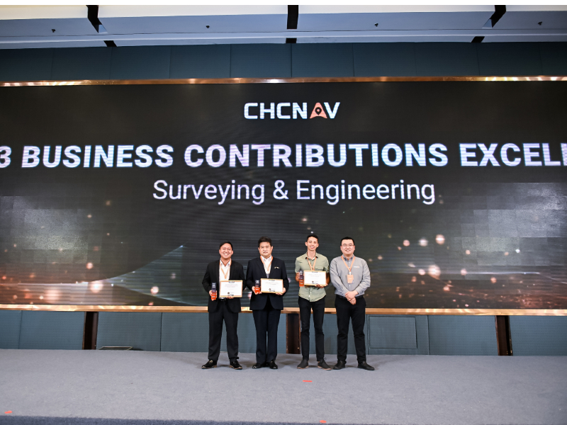
Read MoreThis prestigious recognition highlights exceptional performance, dedication, and commitment to excellence in the surveying and engineering industry. Being awarded the 2023 Gold Dealer of the Year reflects a strong track record of reliability, innovation, and outstanding customer service.
-
Excellence in Service: Demonstrating unmatched quality in delivering surveying and engineering solutions. - Trusted Expertise: Earning the confidence of clients and partners through consistent results..
- Industry Leadership: Setting benchmarks for professionalism and innovation in the field.
This award is a testament to hard work, innovation, and the pursuit of excellence that continues to set new standards in the industry.
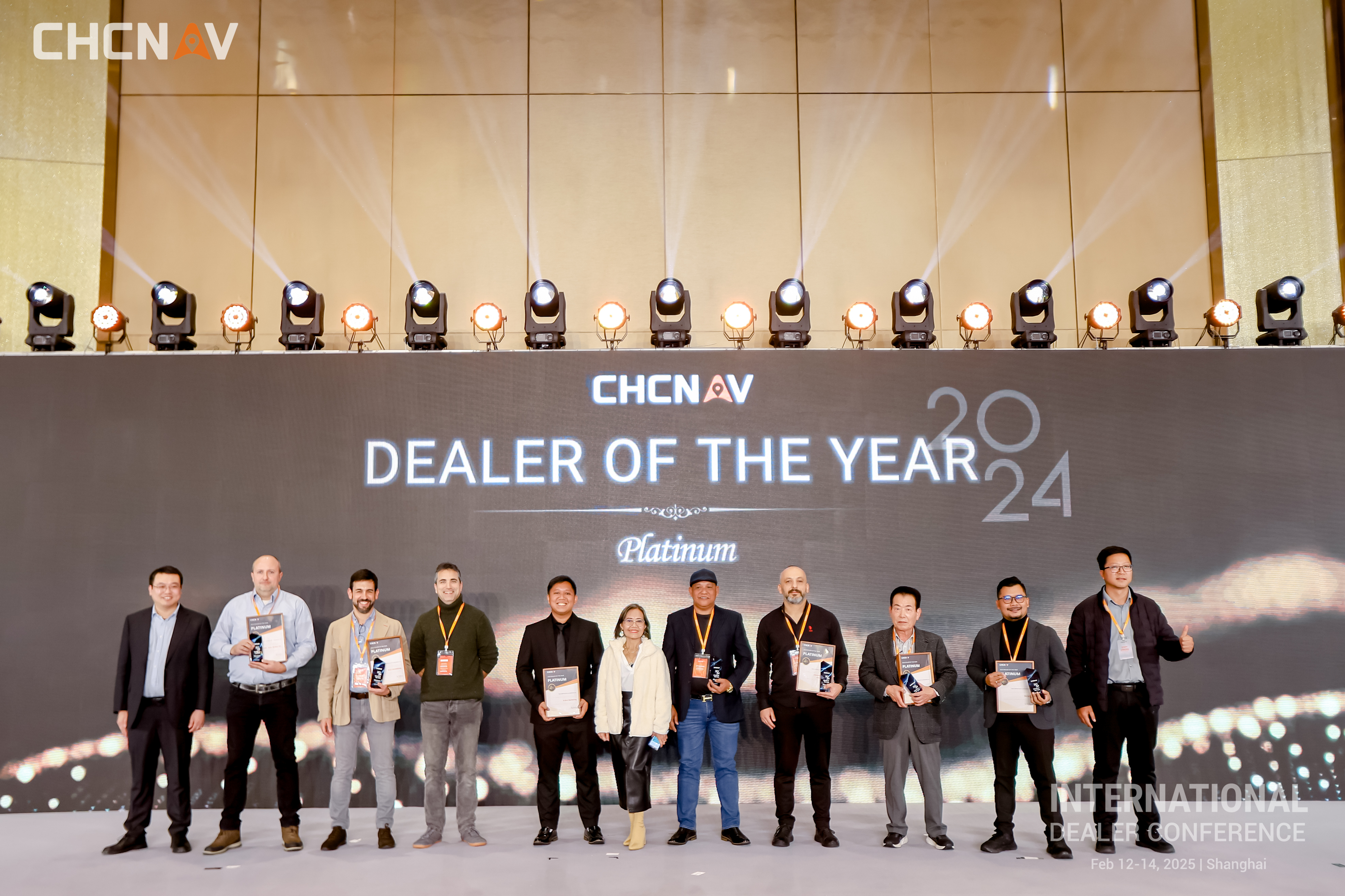
We are thrilled to announce that we have been recognized as CHCNAV’s Platinum Dealer of the Year! This prestigious award is a testament to our dedication, expertise, and commitment to delivering top-tier geospatial and navigation solutions to our valued customers.
A huge thank you to CHCNAV for this incredible recognition and to our amazing team and loyal customers for their continuous support. We look forward to pushing boundaries, driving innovation, and achieving even greater milestones together!
Here’s to another year of excellence and success! 🚀🎉
- #CHCNAV
- #PlatinumDealer
- #AwardWinning
- #Innovation
- #GeospatialExcellence
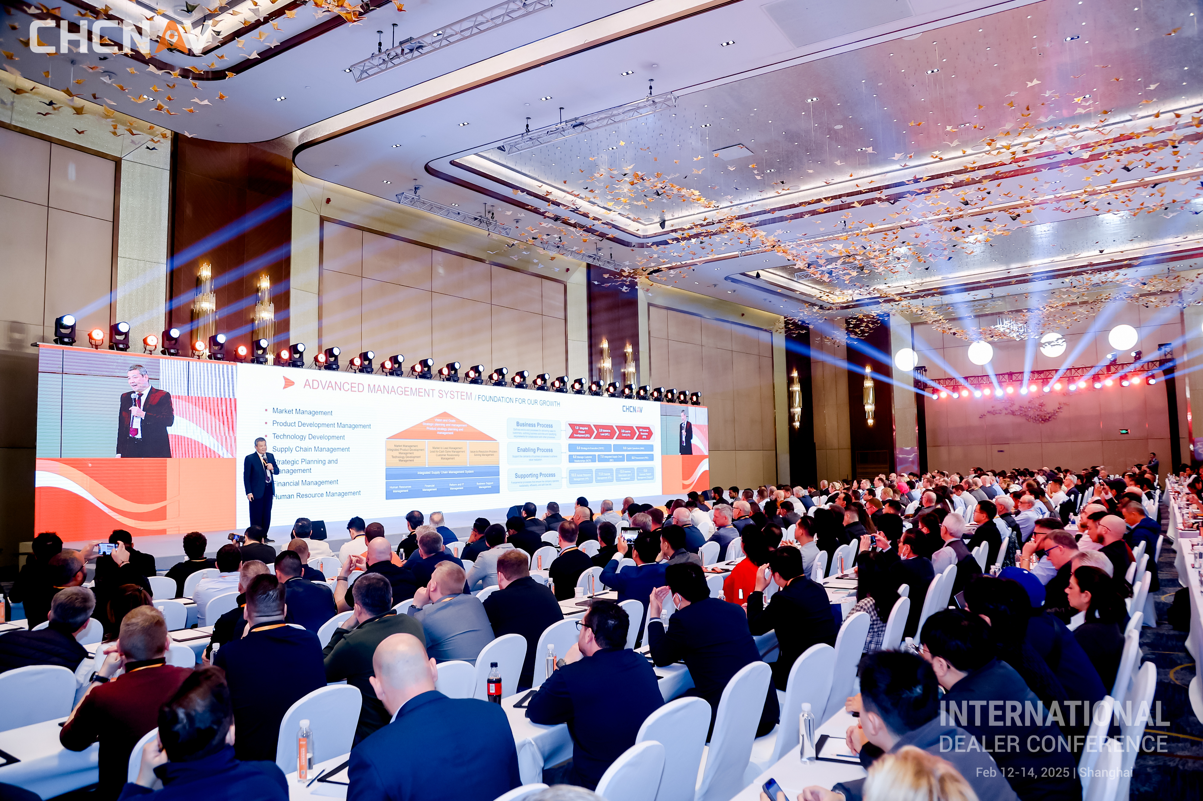
A prestigious gathering of CHCNAV’s top-performing dealers worldwide, celebrating excellence, innovation, and strategic growth in the industry.
- Award Recognition: Acknowledging outstanding achievements, including the prestigious Platinum Dealer award.
- Product Innovations: Showcasing CHCNAV’s latest advancements in geospatial technology.
- Strategic Workshops: Engaging sessions to equip dealers with tools for continued success.
Join us in celebrating this milestone and shaping the future of surveying, navigation, and geospatial solutions. The CHCNAV Dealers Meeting 2025 is a testament to our collective success and commitment to excellence.
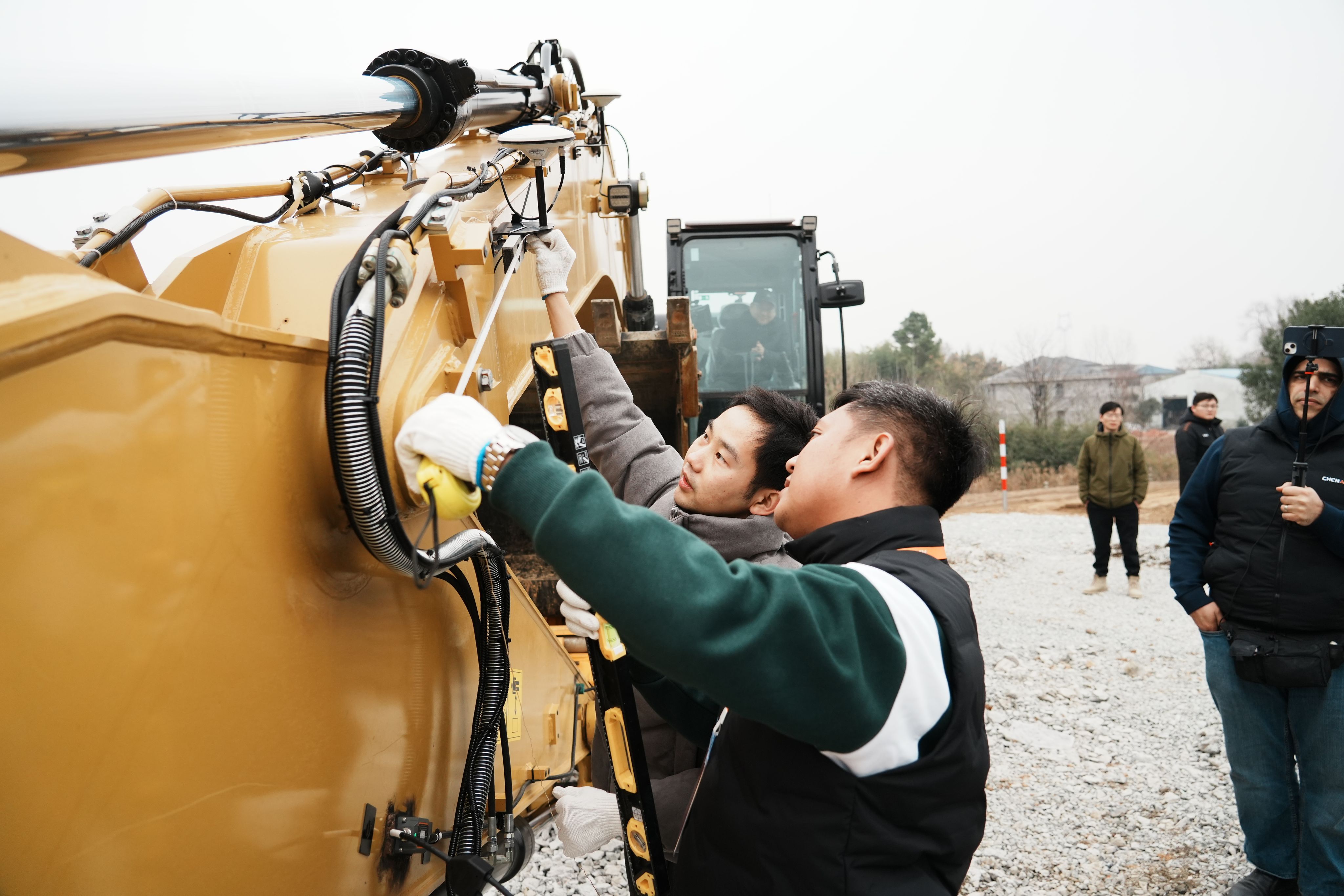
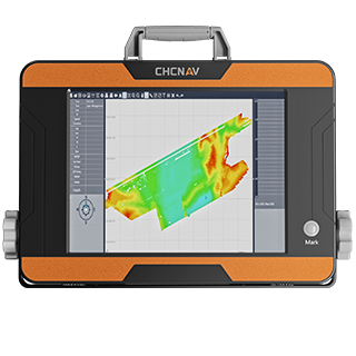
An engaging program designed to provide practical insights and hands-on experience with CHCNAV’s innovative technologies. This initiative highlights the advanced features and capabilities of CHCNAV products for real-world applications.
- Live Demonstrations: Observe CHCNAV products in action, showcasing their precision and efficiency.
- Interactive Training: Gain practical skills and insights from experts to maximize product usage.
- Q&A Sessions: Address specific questions and learn advanced techniques directly from professionals.
Whether you're new to CHCNAV or looking to deepen your expertise, our training and demonstration events ensure a comprehensive understanding of how to harness these tools effectively.
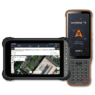
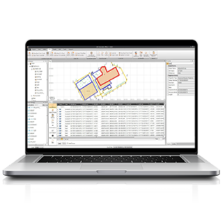
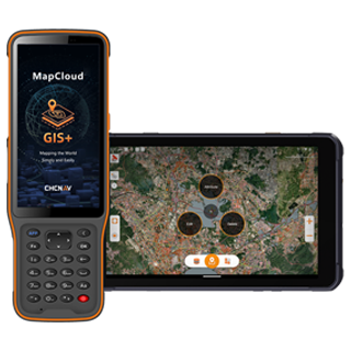
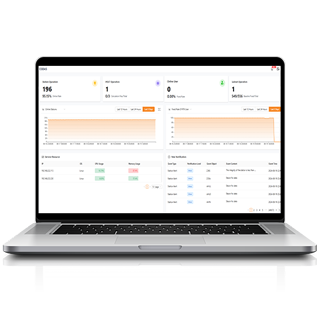
Don't Miss Out on Our Top Products
Get the best solutions for your needs. Our products offer reliability, advanced technology, and top-tier performance. Ready to make a purchase or learn more? The next step is just a click away!
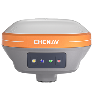
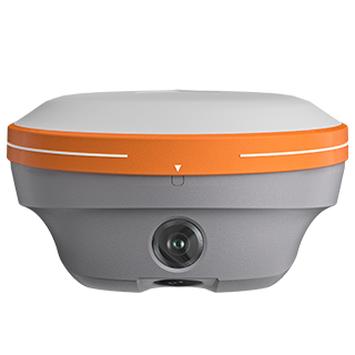
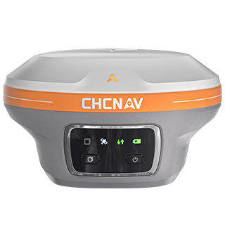
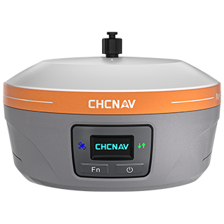
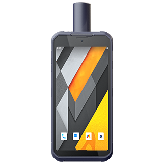
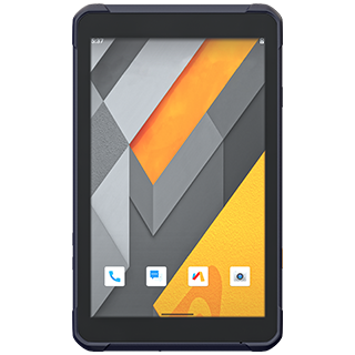
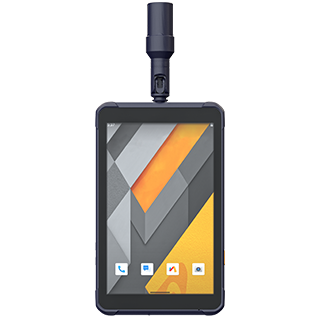
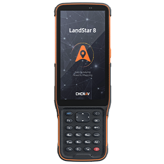
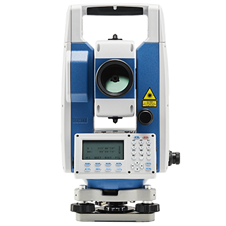
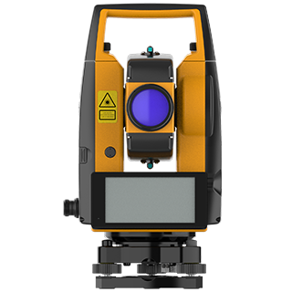
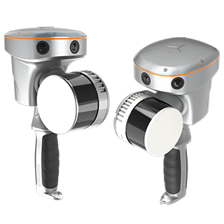
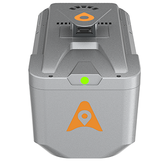
Our Products
Explore the innovative solutions we’ve delivered and the impact we’ve made.
- All
- Surveying and Engineering
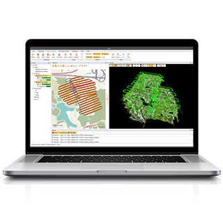
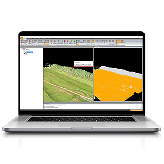
- 3D Mobile Mapping
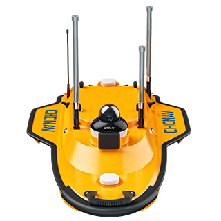
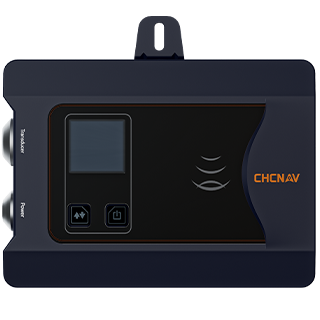
- Marine Surveying
Services
What we do offer
Relocation Survey
Ensure accurate boundary identification and property relocation with comprehensive surveying techniques.
Verification Survey
Confirm property details, verify boundaries, and check survey records for accuracy and compliance.
Topographic Survey
Collect detailed information on the natural and man-made features of a site to create accurate maps.
Subdivision Survey
Design and plan property subdivisions by determining boundary lines and easements for the land division.
Consolidation Survey
Combine multiple lots into one unified property for better management and future development potential.
Consolidation - Subdivision Survey
Convert consolidated land into subdivided parcels to maximize property value and legal compliance.
As-Built Survey
Document the final position of structures to ensure that construction aligns with approved plans.
Hydrographic & Bathymetric Survey
Measure water depths and map underwater features for projects related to coastal, maritime, or aquatic infrastructure.
CAAP Height Clearance Application
Ensure that structures meet the required height clearance for aviation safety in compliance with CAAP regulations.
Aerial Mapping
Create detailed topographic and land-use maps from aerial images and remote sensing technologies.
Lot Plan With Vicinity Map
Provide clear and concise lot boundaries along with a vicinity map for easy identification and reference.
Sketch Plan
Offer initial layouts and site plans for development or planning, ensuring key features are marked for review.
CAD Plotting
Convert surveying data into precise CAD plots for construction planning, site analysis, and regulatory submission.
Our Clients
Trusted by Leading Companies


 G-Surv Corp
Address
40 Visayas Ave, Diliman, Quezon City, Metro Manila
Call Us
+63 927 929 1674 |+63 968 860 9025
Email Us
gsurvcorp@gmail.com