Product
Controllers & Tablets
Enhance your projects with cutting-edge technology
Controllers & Tablets
Highlights
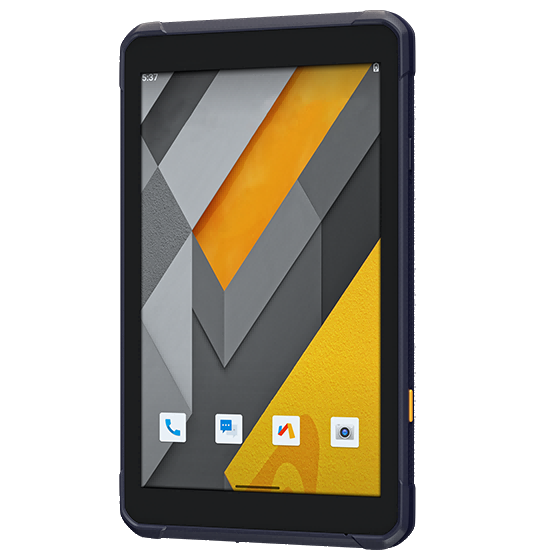
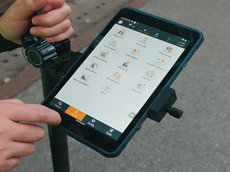
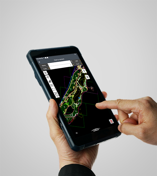
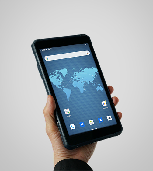
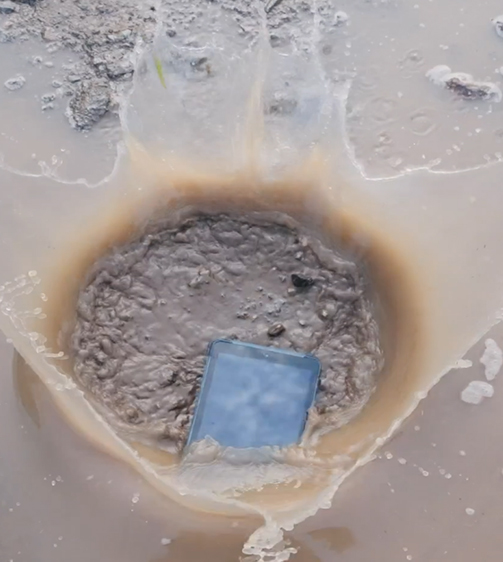
The LT800 increases the efficiency and productivity of mobile workforces engaged in tasks requiring meter-level GNSS positioning accuracy and consistent performance. Its 8.1" sunlight-readable display ensures that GIS data maps and images are easily viewed even in bright lighting conditions. Built to withstand the rigors of daily field use in harsh environments, the LT800 is the first choice for field teams facing tough conditions.
Main Features
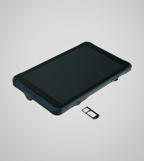
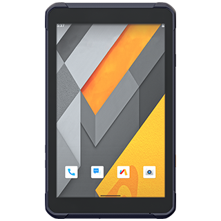
Product Details
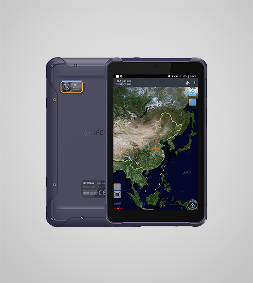
High-Sensitivity GNSS
Meter accuracy positioning with GPS, GLONASS, Galileo, BeiDou, QZSS, and SBAS.
High-Performance
2.0 GHz octa-core processor for smooth operations and fast performance.
Durable Display
8.1" Corning Gorilla Glass 3 IPS touchscreen for a resilient, high-quality display.
Enterprise Integration
Google Mobile Service (GMS) and Android Enterprise Recommended (AER) for business solutions.
Performances
Product Features and Highlights
High-Sensitivity GNSS Module
Achieve reliable GNSS positioning with the LT800's 45-channel GNSS module. Supporting GPS, GLONASS, Galileo, BeiDou, QZSS and SBAS it delivers meter-level positioning accuracy in challenging environments.
High-Performance Processing
The LT800’ 2.0 GHz octa-core CPU handles large maps and data sets without lag, ensuring seamless data collection. The dual-SIM 4G modem provides fast and reliable connectivity, enhancing communication between field teams.
GMS Certified for Compatibility
Ensure seamless integration with enterprise data collection applications. The LT800’s Google Mobile Service (GMS) and Android Enterprise Recommended (AER) certifications provide assurance of software compatibility and optimal performance.
Sunlight-Readable Display
Operate efficiently in any lighting condition with the 8.1" Corning Gorilla Glass 3 IPS touchscreen. Offering 600 nits brightness, the display provides clear visibility of GIS data, complex vector maps, and high-resolution images, even in direct sunlight.
High Portability
At only 550g, the LT800's lightweight design makes it ideal for GIS data collection, environmental monitoring and landscaping. Built to withstand harsh conditions, the LT800 is designed to perform in the field.

Comprehensive Connectivity
Stay connected with the LT800's versatile connectivity, including WiFi, Bluetooth 5.1, NFC, and a built-in 4G modem for efficient data transfer and communication to deliver superior operational efficiency.
Use Cases
Applications of the LT800
Vegetation Mapping
Use remote sensing and satellite imagery to monitor and map vegetation cover and types.
Wildlife Tracking
Track and monitor wildlife movements and behavior for conservation efforts.
Coastal Zone Management
Manage and protect coastal resources through detailed mapping and monitoring.
Specifications
Product Details
-
Positioning
GNSS: GPS, GLONASS, Galileo, BeiDou, QZSS, SBAS
Precision max.: 2-5 m H / 2-5 m V -
Display
Screen size: 8.1" touchscreen
Screen resolution: 1920 x 1200 -
System
Operating System: Android
Processor: Octa-core 2.0 GHz
Memory: 8 GB SDRAM - 256 GB ROM -
Connectivity
Wireless: Bluetooth, Wi-Fi, NFC
Cellular: 4G LTE
Seeking a Perfect Solution to Fit Your Needs?
Contact G-Surv Corp to create a customized precision solution tailored to meet the specific needs of your business. Let's get in touch and discuss how we can assist you.
Our Clients
Trusted by Leading Companies


 G-Surv Corp
Address
40 Visayas Ave, Diliman, Quezon City, Metro Manila
Call Us
+63 927 929 1674 |+63 968 860 9025
Email Us
gsurvcorp@gmail.com