Product
Hydrographic Sensors
Enhance your projects with cutting-edge technology
Hydrographic Sensors
Highlights
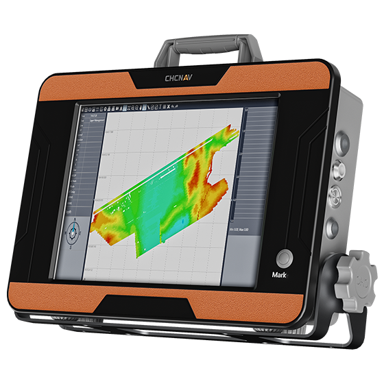
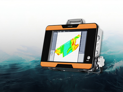
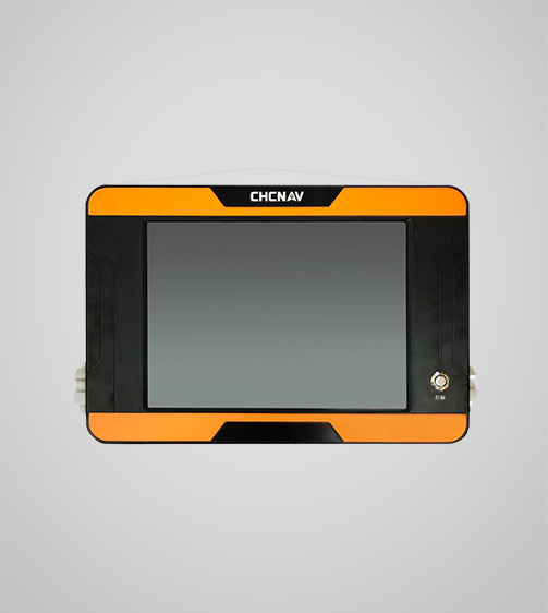
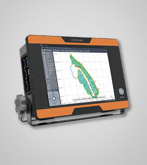
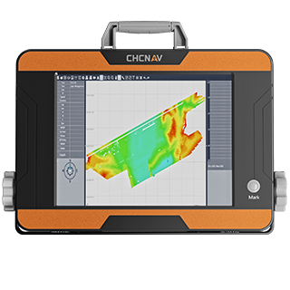
The D390 is a portable and cost-effective bathymetric system designed for professional hydrographic surveys. Equipped with a high-performance 200 kHz transducer, it adapts to varying hydrographic conditions, ensuring precise depth measurements. The D390's 7-degree beam angle provides focused directional and lateral resolution, while the 12-inch HD touchscreen and feature-rich HydroSurvey software simplify survey operations and data management.
Key Features
A durable and high-performance device designed for precision and efficiency.
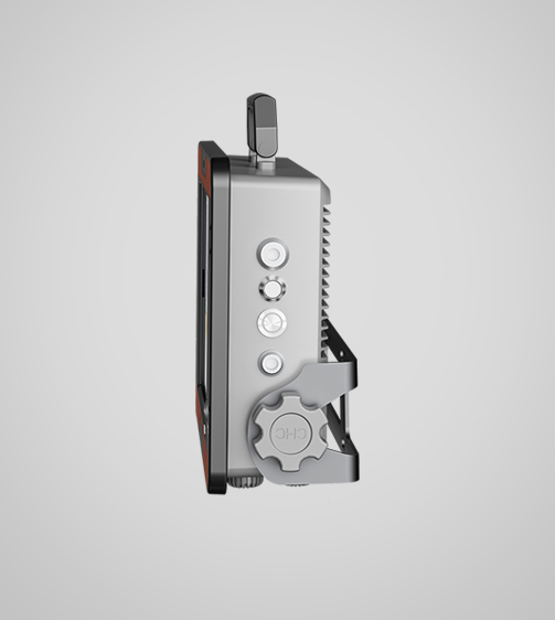
Integrated Temperature Sensor
For real-time sound velocity correction.
Connectivity
Bluetooth and Wi-Fi for wireless setup and data transfer.
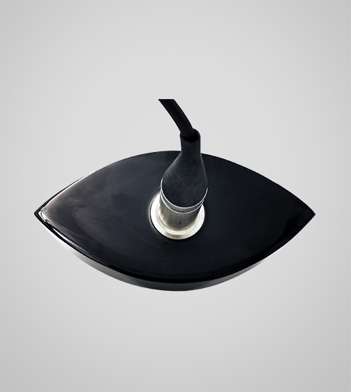
200 kHz Transducer
Depth measurements with a 7° beam angle for precise underwater mapping.
and Performances
Product Features and Highlights
High-Performance Sounding
Achieve precise depth measurements with the advanced 200 kHz transducer. The D390 ensures high accuracy in various hydrographic conditions, making it ideal for river, reservoir, and coastal surveys.
Extended Depth Range
Measure depths up to 300 meters with high accuracy. The D390 supports a wide range of bathymetric applications, providing versatility and reliability in different survey scenarios.
Advanced Data Management
Utilize the feature-rich HydroSurvey software for seamless project management. From positioning and navigation to data acquisition and export, the D390 supports efficient workflow and comprehensive data processing.
Integrated Connectivity
Enhance survey operations with standard serial interfaces for motion sensors and GNSS differential receivers. The D390 offers precise positioning and compatibility with various GNSS systems, ensuring reliable data integration.
Use Cases
Applications of the D390
Hydrographic Surveys
Use for precise mapping of underwater features and water body depth.
Riverbed Mapping
Mapping the riverbed structure for geological and environmental studies.
Bathymetric Mapping
Creating detailed maps of underwater topography and bathymetry.
Specifications
Product Details
-
System
Operating System: Windows
Languages: English, Chinese, Russian -
Features
Functions: Generate DOM and 3D models
File formats: Process GNSS, LiDAR, and RGB data -
Performance
Speed max.: 6 m/s
Payload capacity: 25 kg max
Draft: 10 cm
Positioning: Full GNSS + IMU -
Echosounder
Type: Single beam, 200 kHz
Range: 0.15 to 200 m
Resolution: ±0.01 m + 0.1% x D -
Sensors
Camera: 360° video -
Physical
Weight: 4.7 kg
Dimensions: 365 x 258 x 95 mm
Seeking a Perfect Solution to Fit Your Needs?
Contact G-Surv Corp to create a customized precision solution tailored to meet the specific needs of your business. Let's get in touch and discuss how we can assist you.
Our Clients
Trusted by Leading Companies


 G-Surv Corp
Address
40 Visayas Ave, Diliman, Quezon City, Metro Manila
Call Us
+63 927 929 1674 |+63 968 860 9025
Email Us
gsurvcorp@gmail.com