Product
Surveying and Engineering
Enhance your projects with cutting-edge technology
Surveying
Highlights
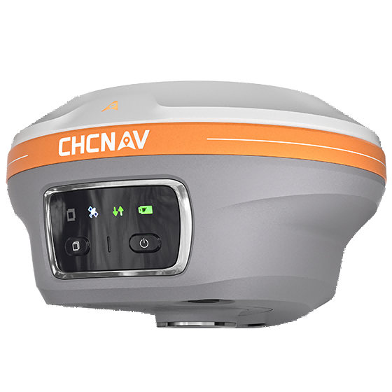
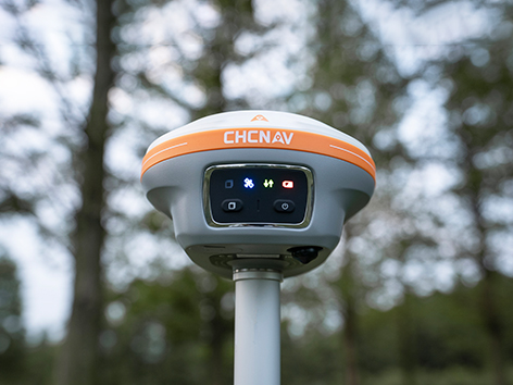
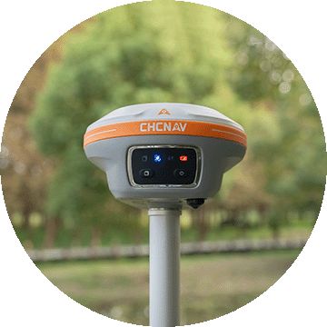
The i89 is a compact yet powerful surveying tool with a 1408-channel GNSS module that enhances RTK performance in challenging conditions. Its advanced ionospheric modeling ensures reliable RTK fixes, even during high solar activity. With 16.5 hours of battery life and a lightweight 750 g design, the i89 delivers efficiency and ease for daily surveying tasks.
Main Features
Product Details
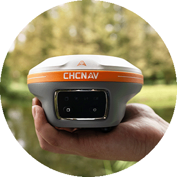
Lightweight
Only 750g for efficiency and ease of everyday use.
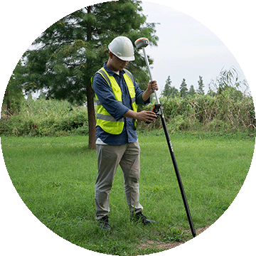
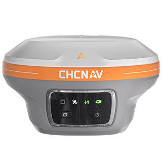
Visual Surveying
Dual cameras extract survey-grade 3D coordinates improving point measurement efficiency.
Superior GNSS
Advanced ionospheric error mitigation with iStar 2.0
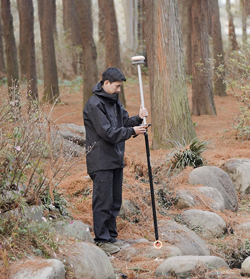
Auto-IMU
200 Hz Auto-IMU provides accurate measurements with pole tilt compensation.
Performances
Product Features and Highlights

Best GNSS Performance
The i89 achieves unrivalled GNSS performance - the iStar2.0 algorithm and ionospheric interference rejection technology provide a 96% reliable fix rate in low latitude regions with high solar activity.
Visual Survey Excellence
Accurately measure previously inaccessible points with the i89's vision surveying capabilities. Panoramic capture mode with 85% overlap with integrated IMU data significantly improves point measurement performance.
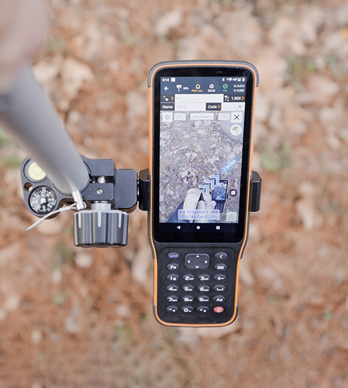
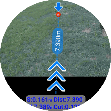
AR Visual Navigation and Stakeout
Simplify field operations with the i89's AR visual navigation and stakeout features that save up to 50% of the operator's time, even for less experienced users, with a reliability that is 10 times greater than standard gyroscope-based GNSS.
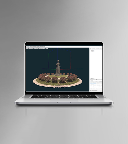
Efficient 3D Modeling
Seamlessly create 3D models using the i89's video photogrammetry algorithms. Compatibility with industry-standard 3D modelling software ensures flexibility and convenience.
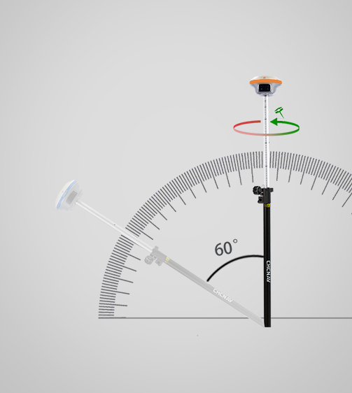
Auto-IMU Technology
The i89's built-in 200Hz Auto-IMU removes the need for manual initialization, ensuring efficiency with every measurement. Its automatic pole tilt compensation maintains 3cm accuracy over a 60-degree tilt range.
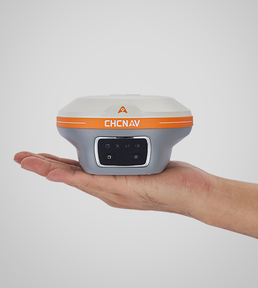
Compact and Durable Design
The i89 pocket-sized design (750g) integrates GNSS, IMU and dual cameras into a single compact unit. IP68-rated for durability and reliable performance in a variety of field conditions, the i89 can withstand a 2 meter pole drop.
Use Cases
Applications of the i89
Topographic Survey
Accurate measurement of land contours for planning, design, and construction projects.
Mining Operation Survey
Precise surveying for mining operations, ensuring safety and operational efficiency.
Construction Survey
Surveying for accurate building layouts, ensuring the precision and integrity of construction projects.
Specifications
Product Details
-
Positioning
GNSS: Full GNSS
IMU: 200 Hz
Precision max.: 0.8 cm H / 1.5 cm V -
Sensors
Camera: Dual -
Physical
Weight: 0.750 kg
Dimensions: 133 x 87 mm
Battery life: Up to 16.5 hours RTK rover -
Connectivity
Wireless: Bluetooth, Wi-Fi, NFC
Modem: 410-470 MHz, Rx/Tx
Seeking a Perfect Solution to Fit Your Needs?
Contact G-Surv Corp to create a customized precision solution tailored to meet the specific needs of your business. Let's get in touch and discuss how we can assist you.
Our Clients
Trusted by Leading Companies


 G-Surv Corp
Address
40 Visayas Ave, Diliman, Quezon City, Metro Manila
Call Us
+63 927 929 1674 |+63 968 860 9025
Email Us
gsurvcorp@gmail.com