Product
Controllers & Tablets
Enhance your projects with cutting-edge technology
Controllers & Tablets
Highlights
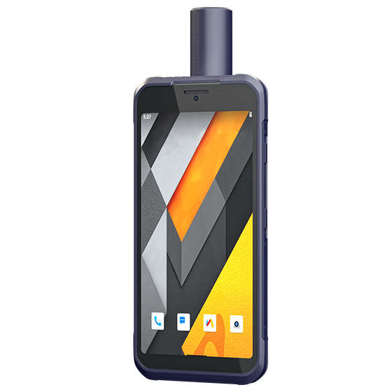
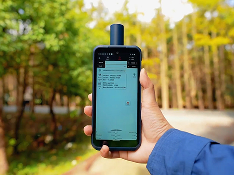
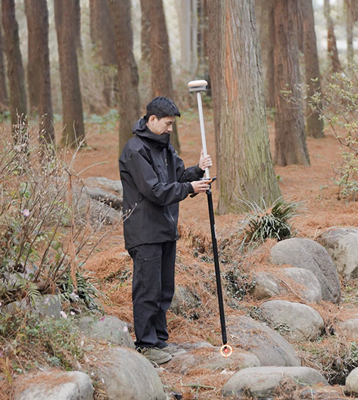
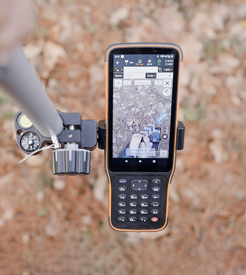
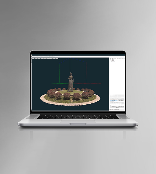
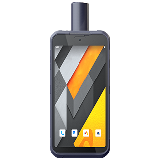
Combining reliability with high precision, the LT60H serves a variety of industries requiring centimeter- or decimeter-level positioning accuracy. Its portability, industrial IP67 ruggedness, and adaptability make it ideal for tasks such as precision GIS data collection and utility inspections. Its 6.3" display remains clear in sunlight, making it perfect for field professionals managing asset positioning and capturing detailed photos.
Main Features
Product Details
Precision GNSS
Reliable GNSS RTK centimeter positioning for high accuracy.
Sunlight-Readable
6.3" IPS display with Corning Gorilla Glass 3, perfect for outdoor use.
Rugged
IP67-rated for dust, water, and drop resistance up to 1.5m for durability.
Enterprise Integration
Google Mobile Service (GMS) and Android Enterprise Recommended (AER) for business solutions.
Performances
Product Features and Highlights

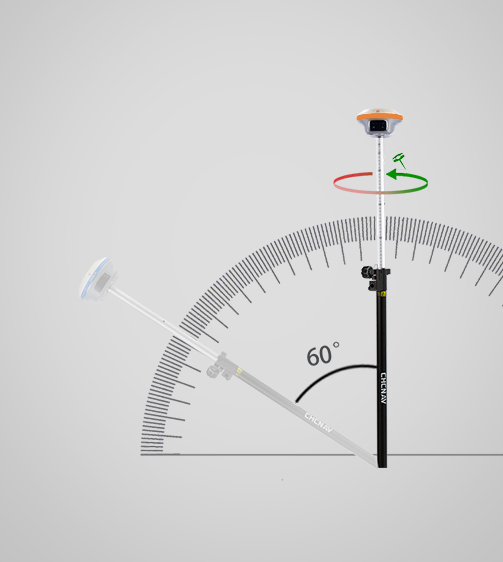
Survey-Grade GNSS Accuracy
Achieve industry-leading centimeter- and decimeter-level accuracy with the 1408-channel GNSS positioning module. The LT60H supports GPS, GLONASS, Galileo, BeiDou, QZSS and SBAS, ensuring reliable accuracy every time.
Rugged Smartphone Design
Work with confidence with the LT60H industrial IP67-rated design. Designed for harsh field conditions, the LT60H is resistant to dust, water and drops up to 1.5 meters.
Sunlight-Readable Display
View your data in crisp detail on the 6.3-inch, 400 PPI IPS display with Corning Gorilla Glass 3 protection. The sunlight-readable display ensures visibility in bright conditions for improved field usability.
Versatile Application Support
The LT60H is compatible with numerous third-party Android-based mapping applications. Its GMS and AER certifications ensure full compatibility with popular data collection applications from the Google Play Store.
Comprehensive Connectivity
Stay connected with built-in 4G, WiFi, and Bluetooth 5.1. The LT60H ensures seamless communication between field and office, supporting RTK GNSS network corrections and efficient data transfer.
Use Cases
Applications of the LT60H
Asset Management
Efficiently track and manage assets across various locations for better control and logistics.
Disaster Response Mapping
Provide real-time mapping and analysis to support emergency response efforts in disaster areas.
Pre-Construction Surveys
Gather precise data before construction to ensure projects are built on accurate ground information.
Specifications
Product Details
-
Positioning
GNSS: Full GNSS
Precision max.: 2 cm H / 2 cm V -
Display
Screen size: 6.3" touchscreen
Screen resolution: 2340 x 1080 -
System
Operating System: Android
Processor: Octa-core 2 GHz
Memory: 4 GB SDRAM - 64 GB ROM -
Connectivity
Wireless: Bluetooth, Wi-Fi, NFC
Cellular: 4G LTE
Seeking a Perfect Solution to Fit Your Needs?
Contact G-Surv Corp to create a customized precision solution tailored to meet the specific needs of your business. Let's get in touch and discuss how we can assist you.
Our Clients
Trusted by Leading Companies


 G-Surv Corp
Address
40 Visayas Ave, Diliman, Quezon City, Metro Manila
Call Us
+63 927 929 1674 |+63 968 860 9025
Email Us
gsurvcorp@gmail.com