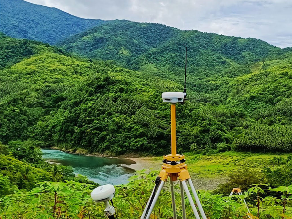
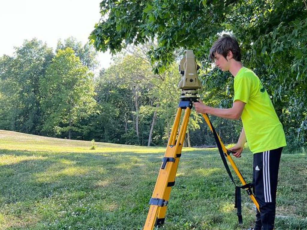
We provide aerial mapping to assess potential locations and environments that can improve accessibility, service quality, and convenience for our clients through detailed geographic data.
The aerial mapping survey aims to identify how we can enhance service accessibility and efficiency by selecting locations that align with the needs of our clients through detailed geographic data.
Aerial mapping surveys are conducted to explore better service areas that align with client needs and improve overall service delivery, ensuring accessibility and efficiency across locations by providing accurate mapping.
"We conduct aerial mapping surveys to assess potential service locations, aiming to improve accessibility, efficiency, and overall service quality for our clients through precise geographical insights."
We conduct aerial mapping surveys to evaluate the effectiveness of our current service locations and explore opportunities to enhance client access, improve service delivery, and ensure overall satisfaction. Your feedback plays a vital role in helping us make informed decisions to serve you better using geographic data.
Why Location Matters
The right location, supported by detailed aerial mapping, can greatly influence the convenience and efficiency of our services. By analyzing potential mapping options, we aim to provide better access and enhance the experience for our clients. Your input is essential in guiding our decisions and ensuring that we meet your needs.
Why Aerial Mapping Matters for Our Services
We conduct aerial mapping to assess the effectiveness of our current locations and identify areas for improvement through detailed geographic data. By gathering feedback, we aim to ensure that our services are easily accessible and efficiently delivered, using aerial mapping to meet client needs. Your input helps us evaluate potential new locations and areas for improvement.
Utilizing aerial mapping to analyze locations can greatly impact service quality by providing more accurate data. We are committed to finding the best options to improve accessibility, service delivery, and overall client satisfaction. Your participation is crucial in shaping where we operate next, ensuring more informed and effective decisions.